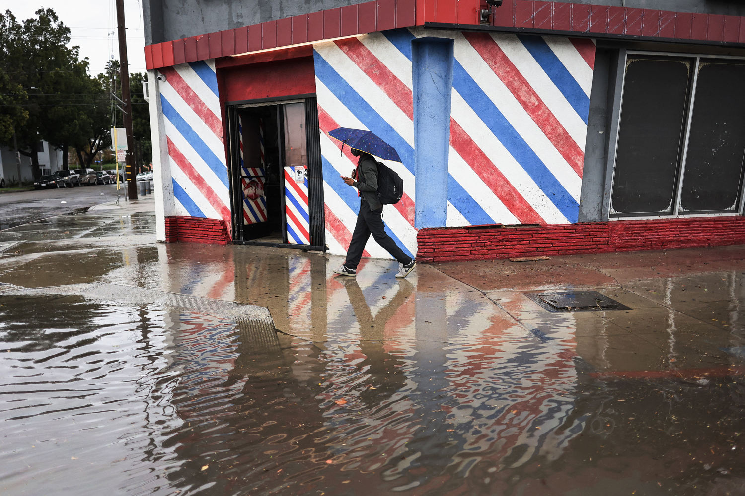
A strong Pacific storm system is expected to bring “life threatening flooding” and heavy snow to California over the weekend into early next week, according to the National Weather Service.
A combination of warm air from the Pacific, “strong onshore/upslope flow” and cool air can produce thunderstorms and rainfall upwards of 1 inch per hour.
Damaging winds, brief tornadoes and waterspouts are also possible Sunday along coasts and valleys in southwest California, per the National Weather Service in Los Angeles.
Much of the state is expected to receive heavy rainfall, with around 3 to 6 inches possible in coasts and valleys and 6 to 12 inches likely for mountain ranges.
“There is now a High Risk of Excessive Rainfall (level 4/4) for the Transverse Ranges of Southern California both Sunday and Monday as the Pacific system is expected to slow and allow for a longer duration event with near continuous rainfall over the next 48 hours,” the National Weather Service said. “A Moderate Risk (level 3/4) encompasses the High Risk along the central Coastal Ranges southward through the LA Basin Sunday, and from the LA Basin southward along the Peninsular Ranges Monday.”
The heavy rainfall may bring life-threatening flash, river and urban flooding to the area, as well as potential debris flows and mudslides, per the National Weather Service.
The most at-risk communities in California are those located on or below hillsides, especially those impacted by wildfires, according to the California Governor’s Office of Emergency Services.
Residents are encouraged to follow local alerts, not walk or drive through debris flows and seek higher ground, Cal OES spokesperson Diana Ibrahim said in an update.
Mandatory evacuations were ordered for parts of Santa Barbara and Ventura counties in response to the weather event.
Los Angeles Mayor Karen Bass issued an evacuation order for La Tuna Canyon Road.
“The City urges residents in this area to evacuate immediately,” the office of the mayor said in a news release. “The area subject to the Order is at an increased risk of significant flooding, mudslides, and sediment flow because of the burn scars left by the Land Fire that occurred in 2022.”
The city’s Emergency Operations Center was also activated to level 2 Sunday morning.
Sandbags are available for residents in multiple locations, and shelters will be opened for those who need them, according to Cal OES.
The PGA Tour’s AT&T Pebble Beach Pro-Am held in Pebble Beach along the coast was delayed Sunday as a result of the rain and strong winds, The Associated Press reported. The storm system could cut the tournament short.
Damaging wind gusts of up to 95 mph
Damaging wind gusts up to 95 mph may also impact Northern and Southern California through Sunday night, leading to downed trees and power outages, according to the NWS.
A man was injured after a tree fell on an occupied vehicle traveling northbound on Highway 101 north of the Todd Road in Santa Rosa Sunday morning. It’s not clear what condition the man is in.
Wind gusts of 61 mph have already been reported in San Luis Obispo since Saturday night.
In the Bay Area, hurricane-force wind gusts are possible.
“The waters from the Big Sur Coast to 60 nautical miles out have been upgraded to Hurricane Force Wind Warnings for winds 35 to 55 kt with gusts up to 80 knots (roughly 92 mph),” the National Weather Service office in the Bay Area said.
San Francisco International Airport issued a ground delay on departures to the airport until early Monday morning due to wind, according to the Federal Aviation Administration.
Snow in the Sierra Nevada
Heavy snow will be the headline event for higher elevations, including the Sierra Nevada and Northern California mountain ranges, specifically at elevations above 5,000 to 6,000 feet.
“Snow totals of several feet are forecast for the Sierra through Tuesday morning,” the NWS said. “Heavy snow rates of 2-3”/hour along with strong winds will lead to whiteout conditions and dangerous, near impossible travel conditions.”
Elevations above 7,000 in Southern California may also see heavy snow.
The system is expected to move northward and inland and bring “moderate to heavy snow for the regional mountain ranges of the Pacific Northwest, Great Basin, and Northern Rockies over the next couple of days,” according to the weather service.
Over 145,000 utility customers did not have power in California as of Sunday afternoon, according to Poweroutage.us.